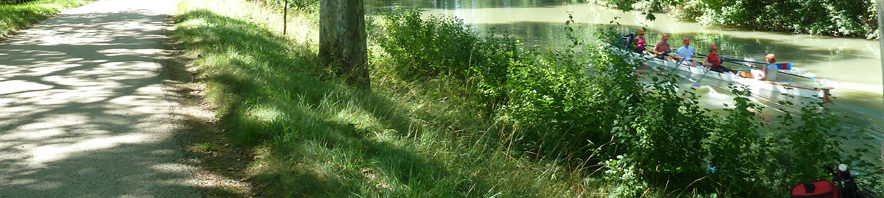
Voici les étapes prévues:
- Balma à Port Lauragais: 50Km
- Port-Lauragais à Alzonne: 40 Km
- Alzonne à Marseillette: 43 Km
- Marseillette au Somail: 37 Km
- Somail à Valras-Plage: 40 Km
La carte google maps:
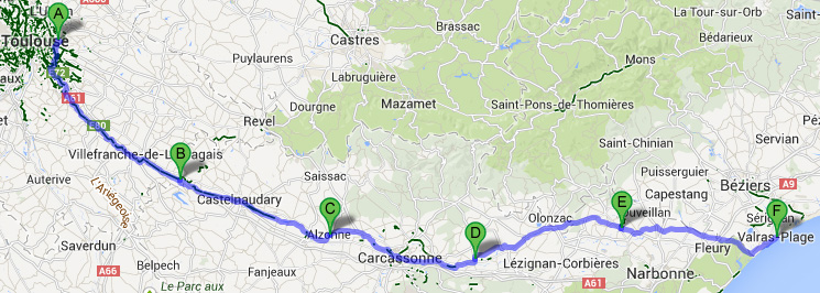
Les kilométrages restent approximatif car le moteur de google Maps ne suit pas forcément tout le temps le canal. voir ici (activer itinéraire vélo sinon par défaut c’est voiture !)
[MAJ 19/08/13]
Tracés exportés de Endomondo et concaténés avec GPX Editor
Journée 1:
Map of the route “Etapes”: 55 957 m, 1 011 m of climbing and 1 001 m of descent, elevation between 187 m and 265 m, time 07:41:26. It starts at 43.60476, 1.50525 and ends at 43.35178, 1.80121 (latitude, longitude).
Journée 2:
Map of the route “Etapes”: 38 890 m, 762 m of climbing and 862 m of descent, elevation between 156 m and 264 m, time 07:57:28. It starts at 43.35185, 1.80114 and ends at 43.25218, 2.17569 (latitude, longitude).
Journée 3:
Map of the route “Etapes”: 45 044 m, 867 m of climbing and 912 m of descent, elevation between 119 m and 194 m, time 08:14:58. It starts at 43.25222, 2.17551 and ends at 43.20426, 2.54843 (latitude, longitude).
Journée 4:
Map of the route “Etapes”: 42 611 m, 627 m of climbing and 694 m of descent, elevation between 71 m and 144 m, time 07:37:13. It starts at 43.20456, 2.55093 and ends at 43.26623, 2.90467 (latitude, longitude).
Journée 5:
Map of the route “Etapes”: 38 606 m, 353 m of climbing and 409 m of descent, elevation between 46 m and 93 m, time 06:31:33. It starts at 43.26434, 2.91056 and ends at 43.23795, 3.27551 (latitude, longitude).